Who are the Friends of Falls Creek?
Friends of Falls Creek is a community-led organization and registered society committed to protecting the source of our most vital resource: clean water. Membership is made up of Bonnington and Beasley residents and the executive is led by - Jessica Hewitt, Pasan Chandraweera and Solita Work. We are mobilizing the community in a multi-faceted approach to protect the watershed from BCTS Industrial logging plans.
Community watersheds around the province are being targeted for harvest under the guise of wildfire mitigation. Vancouver and Victoria have protected their watersheds from residential, industrial, recreational, and agriculture - why can’t we?
We stand for a future where water is treated as a shared human right, not a commodity, it is protected for the common good, rooted in Sinixt knowledge, science, and cared for through community leadership. We are currently seeking funding opportunities and working the the Bonnington Improvement District and Beasley water users to establish long-term water quality and quantity monitoring in Falls Creek.
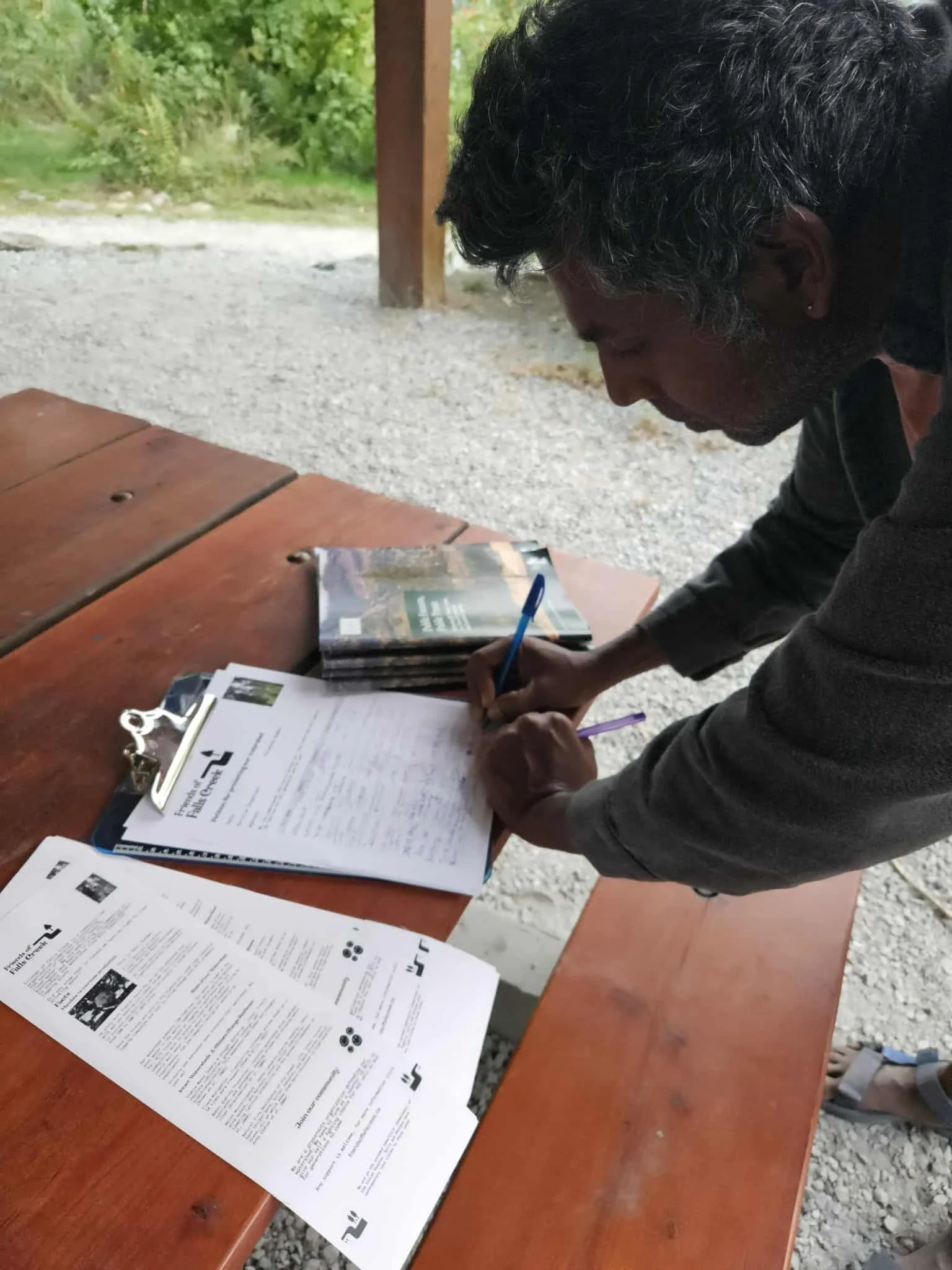
We need the Bonnington and Beasley community to stand together and push back against the machine of BC Timber Sales and their plans that threaten our watershed. By joining Friends of Falls Creek, you add strength to our collective voice to protect clean water, healthy forests, and the future of our community. Now is the time to stand up — become a member today.

What Do We Know About Falls Creek?
Falls Creek is within the təmxʷúlaʔxʷ (homelands) of Sinixt peoples since time immemorial. Whuplaken and Smum iem are the Laws of the Land that continue to be upheld by Sinixt traditional landowners and knowledge keepers. These Laws are rooted in thousands of years of intergenerational knowledge transfer and deep connection, respect, and understanding of these lands and waters. More in-depth history can be read here.
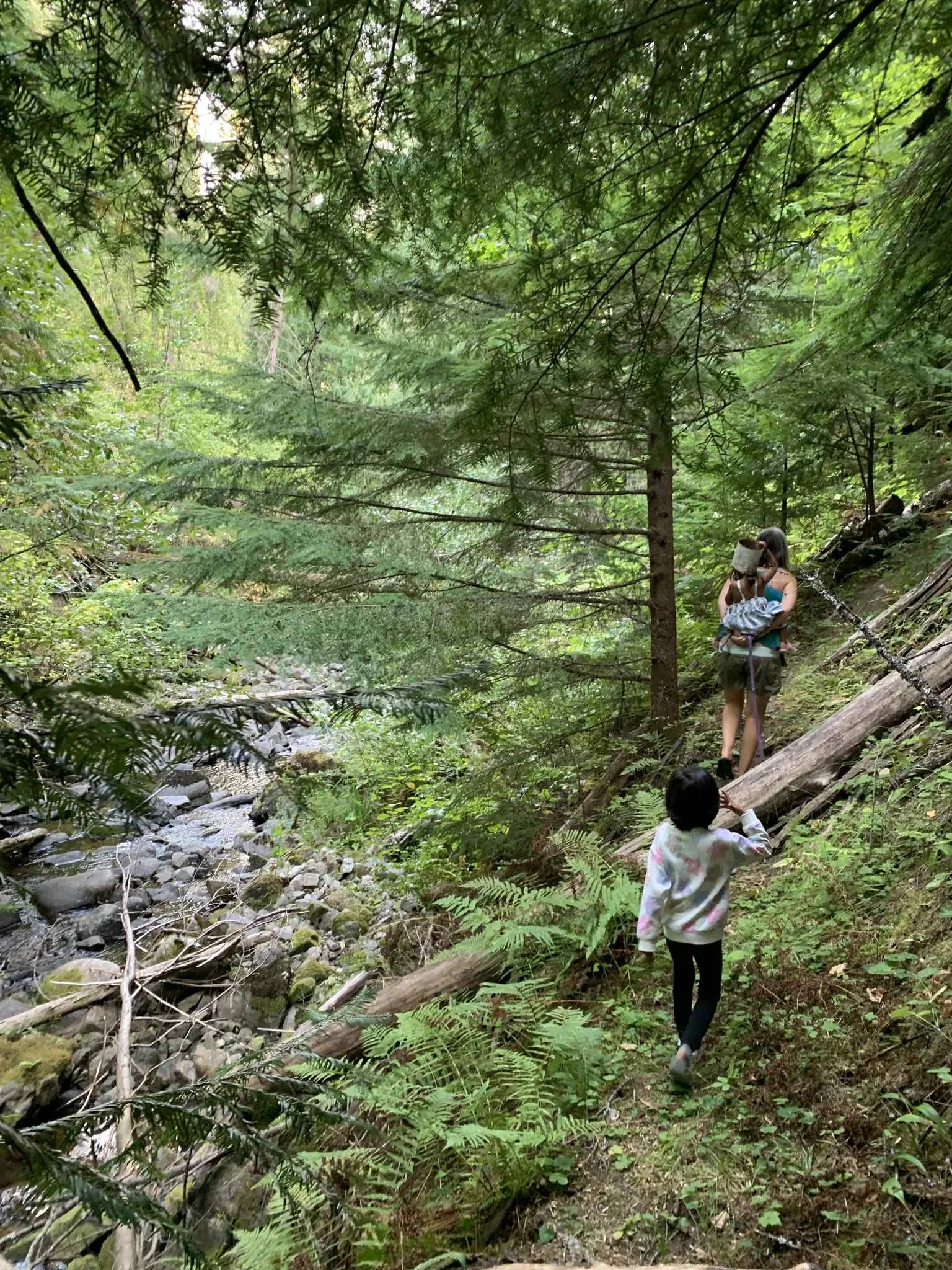
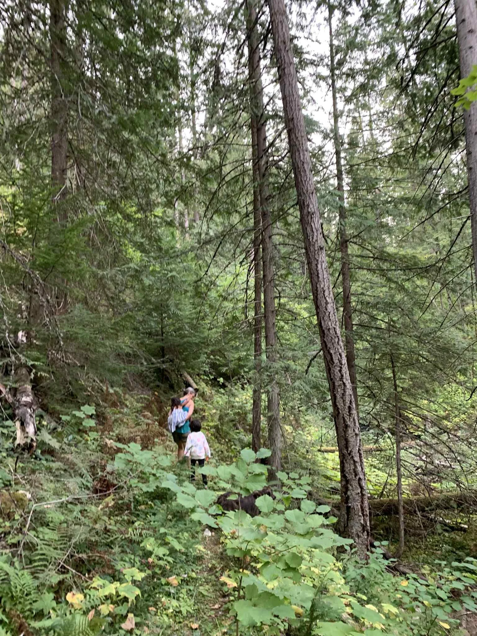
The Falls Creek watershed, located west of Nelson, B.C., supplies domestic water to Beasley and Bonnington. An Interior Watershed Assessment (2000) was carried out to evaluate its condition and risks completed by Dr.Martin Carver (Hydrologist) and Greg Utzig (Conservation Ecologist). The study identified multiple hazards: sediment sources from old logging roads and landslides, unstable channels filled with historic logging debris, and compromised riparian areas. These impacts stem largely from mid-20th century logging, road-building, and fires, which caused long-lasting erosion and instability.
Hydrologic indicators show that the watershed remains under moderate to high stress. Equivalent clearcut area (ECA) is still elevated, meaning peak flows are more variable than in natural conditions. Road density is high, with sections in unstable terrain contributing to landslides and channel avulsions. As a result, channel stability is rated high hazard, sediment sources moderate-to-high, and riparian function moderate-to-high.
The report emphasizes that rehabilitation must prioritize reducing sediment inputs from roads and unstable slopes before channel restoration can be effective. Recommended actions include road deactivation, drainage improvements, landslide stabilization, and long-term riparian planting. Maintaining ECA at or below 15–20% is considered critical for recovery. While limited development may be possible in carefully selected areas, the overall recommendation is caution: further road-building or harvesting risks worsening instability.
In summary, the watershed is recovering slowly but remains fragile. The report stresses that protecting water quality for local communities must take precedence over resource extraction
The full report can be viewed here.
A new watershed assessment is currently being undertaken by Ashlee Jollymoore at MacHydro is being paid for by BCTS.
Terrain mapping stream channel assessment
This report, a "Level B Terrain Mapping and Stream Channel Assessment" for the Falls Creek Study Area, summarizes the results of a terrain and soil mapping project intended to aid in planning for timber harvesting and road construction. The study, based on airphoto interpretation and limited fieldwork, covers approximately 4,300 hectares and includes interpretive maps of terrain stability and various erosion hazards.
A key finding is that logging and road construction from the 1960s caused extensive damage to Falls Creek, including collapsed road crossings that created new channels and road-related landslides that deposited sediment directly into the creek. The report recommends that all areas with Terrain Stability Class IV and V, as well as areas identified as high or very high hazards for waterborne erosion and sediment yield, receive more detailed on-site inspection by a qualified professional before any further road construction or harvesting activities. The report notes that channel conditions steadily worsen downstream and that long-term wood recruitment has been impaired by the removal of riparian vegetation.
-
![]()
Falls Creek Dam
-
![]()
Falls Creek Dam
-
![]()
Rockslide Lake
-
![]()
Rockslide Lake